Agriculture
Improved monitoring processes
and crop management
Modern agricultural monitoring and management methods require efficient solutions that collect the most up-to-date crop information and are ready to quickly process data sets.
The process from collecting data, through their processing, to the preparation of consumer results, reports, tips useful in agricultural operations, are complex activities that should be supported with appropriate tools that facilitate the work.
Cloud infrastructure for agriculture - advantages:
If we are looking for a solution that will simultaneously store, process and access data from anywhere on Earth, the only reasonable solution is the cloud.
-
Using cloud computing allows you to freely choose the amount of necessary resources. Computing power can be increased or decreased as required by the organization.
-
One of the main advantages of cloud computing is constant access to all collected data from many different devices, which allows you to use the files you need both on desktop computers and mobile devices.
-
Cloud computing also allows data to be made available to authorized users free of charge. All this makes it an extremely convenient solution that effectively supports the work of the organization.
We offer a ready-to-use cloud infrastructure, tailored to the needs of users, as well as a cloud connected with Earth observation data and tools for its processing.
Earth Observation data and cloud infrastructure for agriculture
Agricultural processes supported by the Earth Observations
Many of the agricultural processes are supported by the Earth Observations (EO). Starting from the local level, EO data helps in finding the most suitable place for specific crops, forecasting crops or keeping records of agricultural plots. Through more advanced SAR or hyperspectral remote sensing techniques, implemented in precision farming. Ending at the central level, where EO data enables the identification of less-favored areas and helps in the development and implementation of programs supporting the development of agriculture and direct farm payments.
Various data in one place
CREODIAS provides access to data from various sources, both obtained from the satellite level and in-situ, free with medium spatial resolution and commercial high-resolution data, which complement each other.
Very High Resolution imagery - VHR
VHR imageries are the perfect complement to open data and products. The accuracy of imaging ranging from 0.4 m to 4 m and is perfect for detecting small plots of land, orchards or permanent fruit crops. VHR imageries are especially valuable in monitoring greenery in urbanized areas.
Integrated environment for big data processing
Satellite data, used in the agricultural context, can constitute large and heavy data sets. CREODIAS guarantees its users to ensure fast and effective work with this data, thanks to the possibility of using a flexible and scalable infrastructure and open tools for data preparation, processing and analysis. In addition, Sen4CAP is available on the platform, dedicated to agricultural monitoring, and any software can be installed on each virtual machine. An example is available machines from ArcGIS Pro.
EO data and cloud in agriculture - examples:
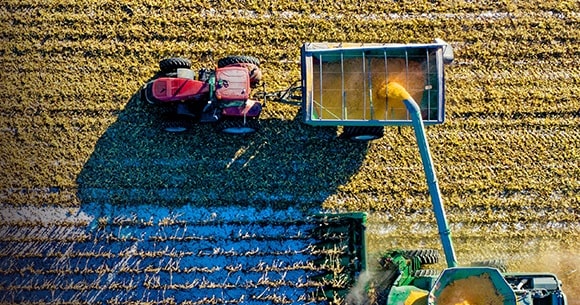
Sen4CAP - crops analysis with satellite data
Crop types and their condition can be monitored using satellite data, providing up-to-date, accurate and reliable information for better field management for farmers, as well as institutions responsible for controlling and supporting the agricultural sector. The Sen4CAP system is an open system, available on the CREODIAS platform, enabling the processing of satellite data for the purposes of monitoring agriculture and implementing the Common Agricultural Policy of the European Union.
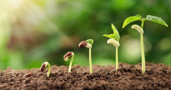
SOLUM - soil monitoring from space
Soils determine the land potential for agriculture. SOLUM is an example of application created by Geomatic and CloudFerro for the Polish Space Agency. This innovative approach is looking for a relation between the soil fertility based on Sentinel-2 images and its official administrative signature. Mapping this phenomenon is crucial for public administration and government agencies. The developed index together with a rich database of administrative layers has become a pilot environmental application on CREODIAS.

Services for Earth Observation-based statistical information for agriculture
"ESA EOStat: Agriculture Poland: Services for Earth Observation-based statistical information for agriculture" is a project conducted on the CREODIAS platform, by the consortium: IGiK, CBK, GUS and ARiMR. The goal of the project was to develope methods of supporting the collection of statistical information on agricultural production in Poland with the use of satellite data and methods of satellite support for monitoring compliance with the provisions of the Common Agricultural Policy in the field of direct payments.

